
VISUAL PORTFOLIO
Ohio Valley From Above
Discover high-resolution aerial perspectives across industry verticals. Professional drone media tailored for your project needs.
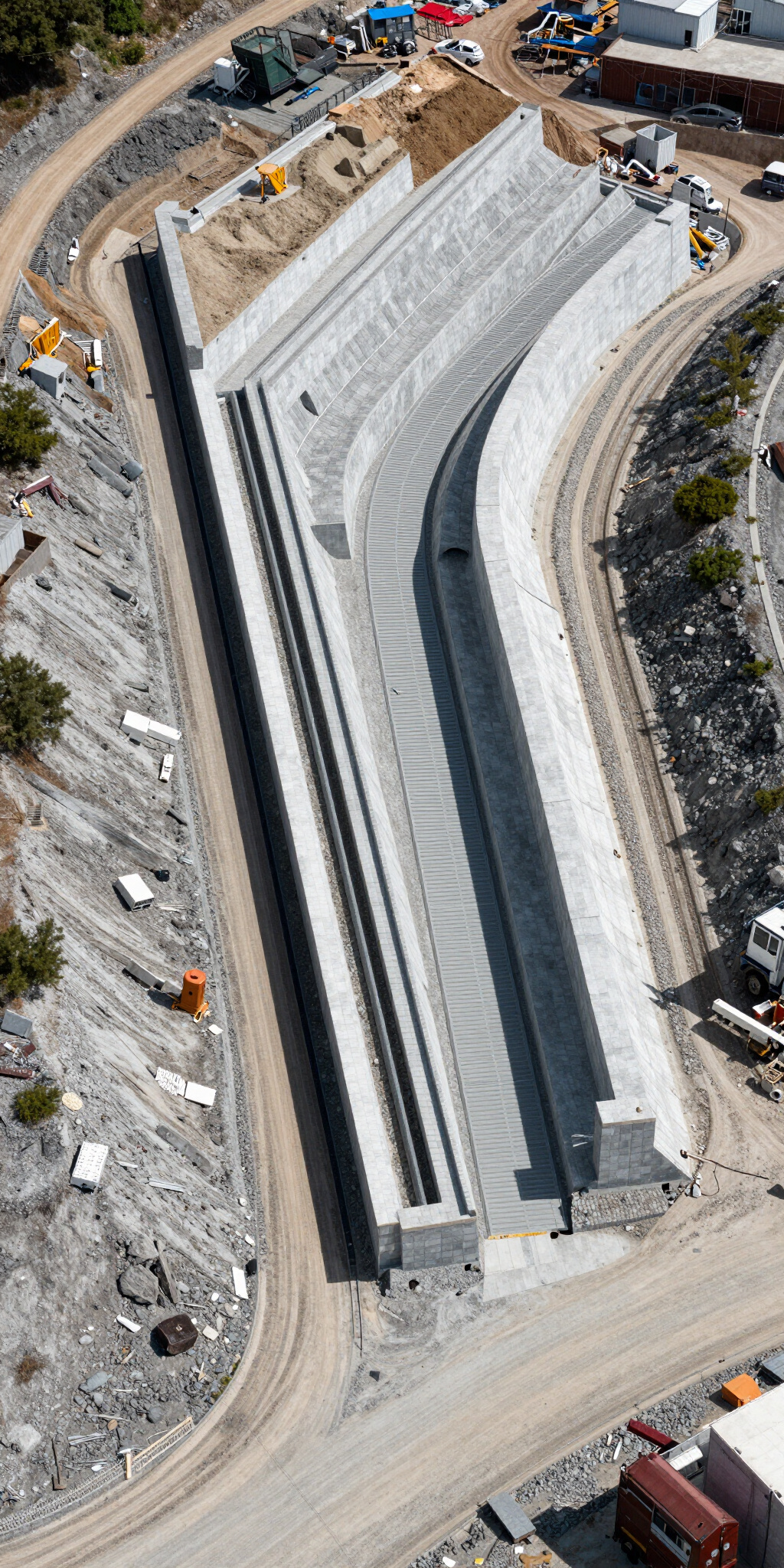
Construction & Site Inspection
We provide comprehensive visual documentation for general contractors, engineers, and project managers. From initial site surveys to weekly progress monitoring, our aerial media ensures every detail is captured with technical precision and industrial clarity.


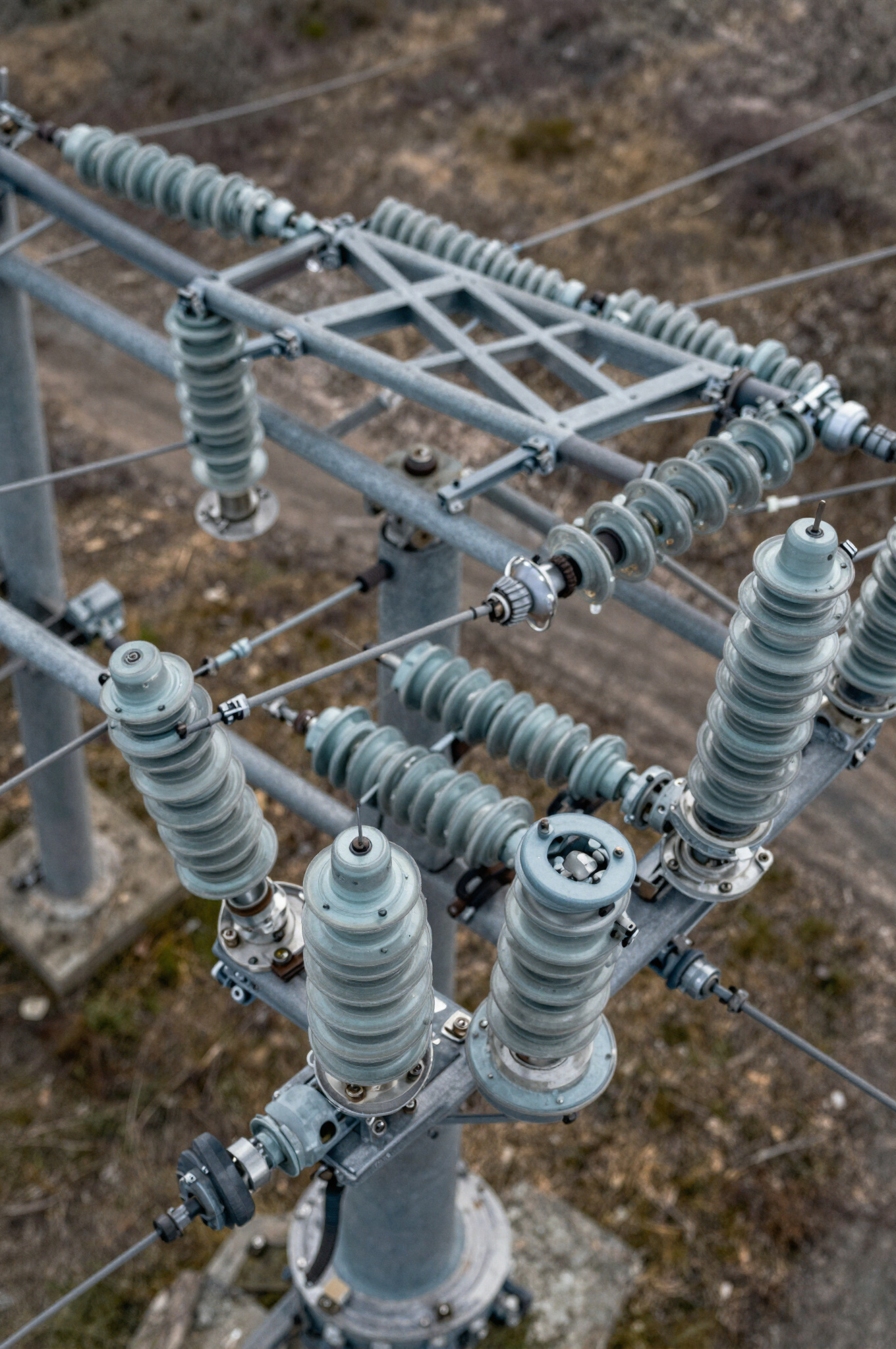
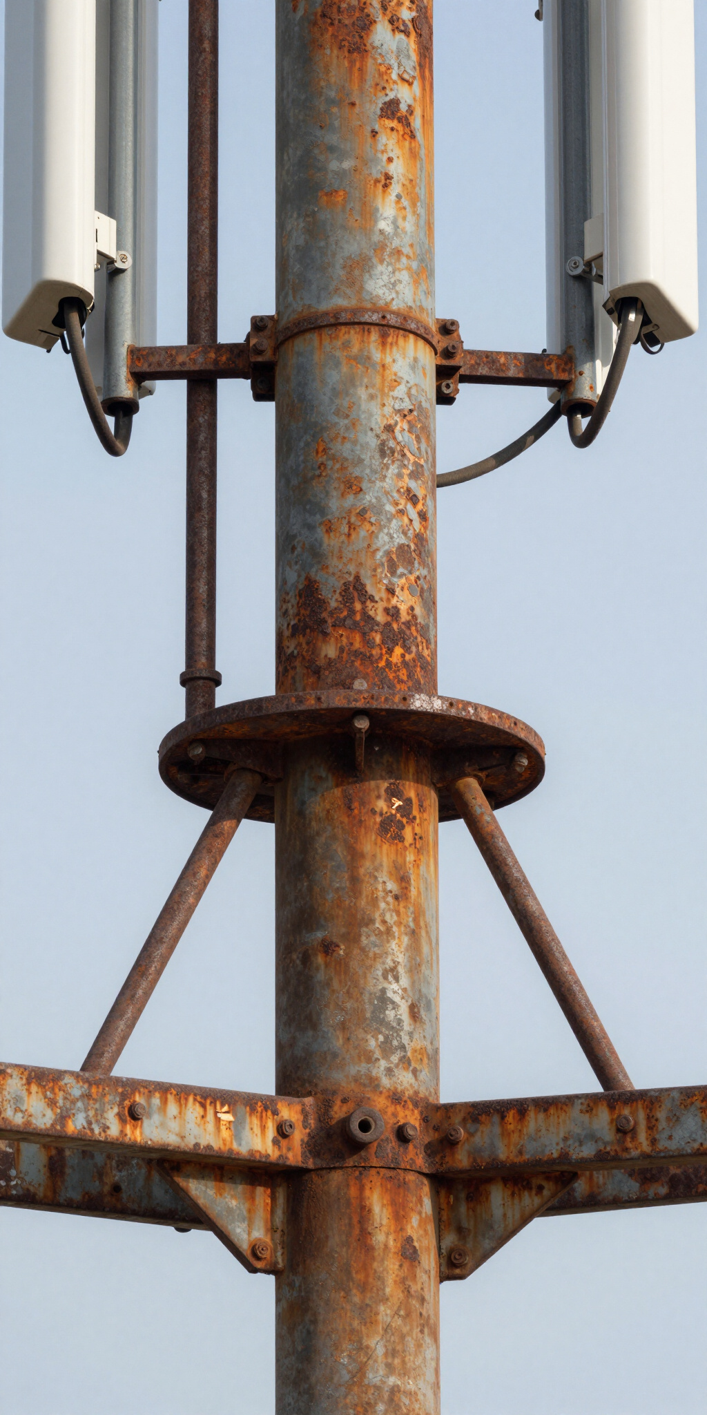
Utility & Telecom
Specialized drone inspections for utility corridors and telecommunications towers. We provide high-resolution visual evidence of structural integrity, equipment condition, and environmental impact, ensuring network uptime and technician safety through precise aerial data collection.


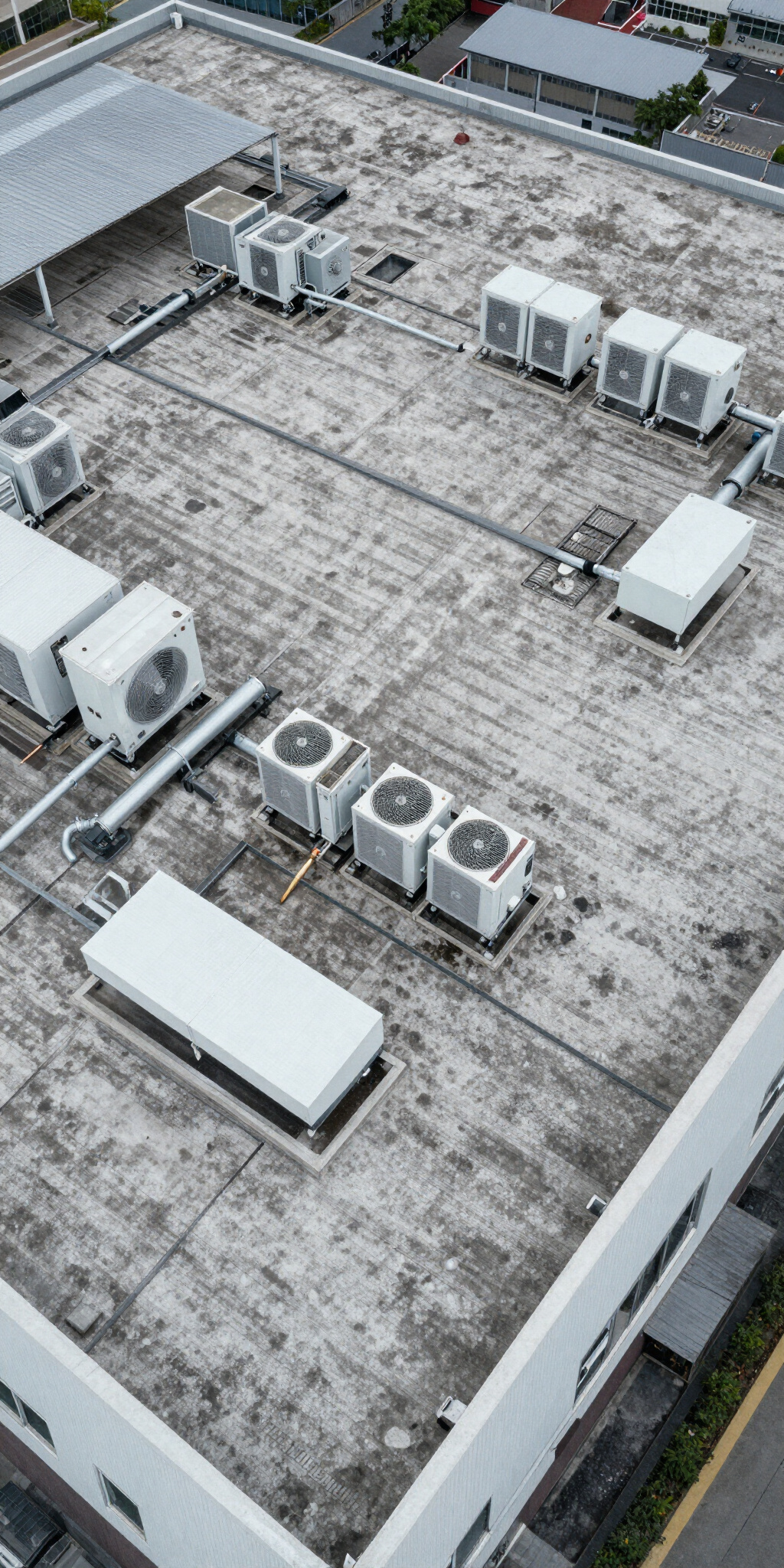
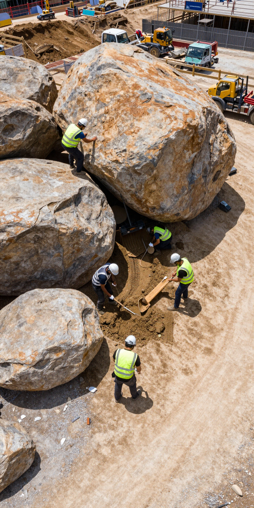
Engineering & Insurance
We provide analytical, high-clarity aerial data for engineering firms and insurance adjusters. Our fleet captures high-resolution evidence for structural analysis, claim validation, and maintenance planning across industrial and commercial corridors.
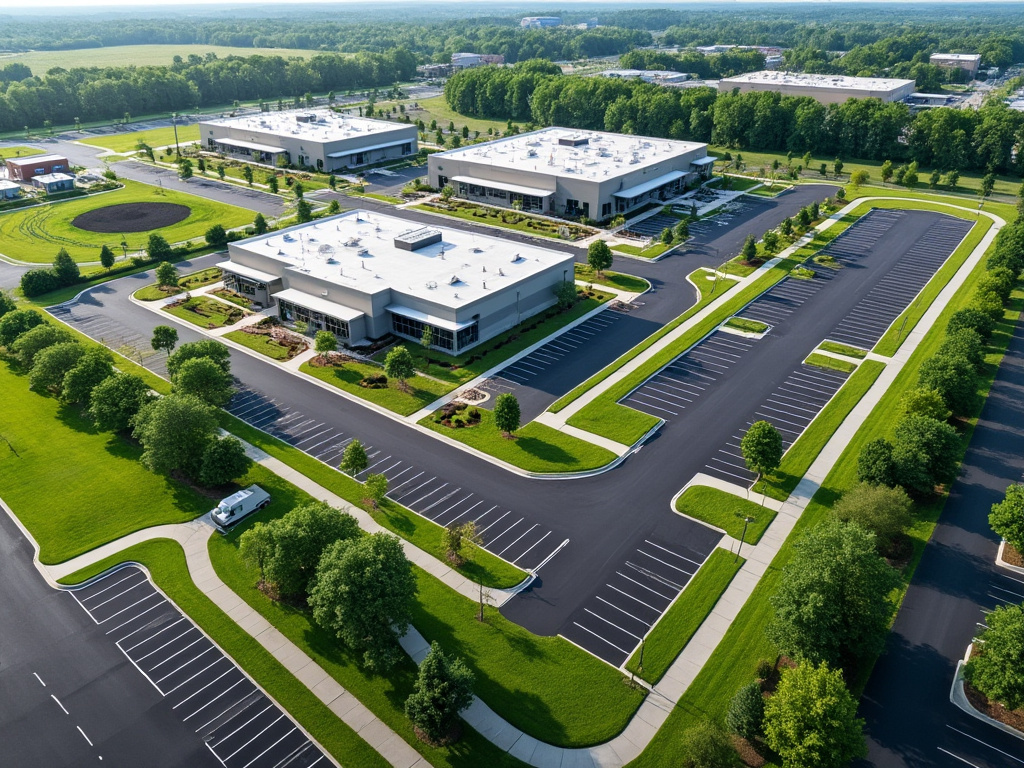
Landscape Construction
Explore our aerial documentation of commercial landscape installation and site development across the Ohio Valley. From initial grading to final greenery, we capture technical precision and aesthetic value.





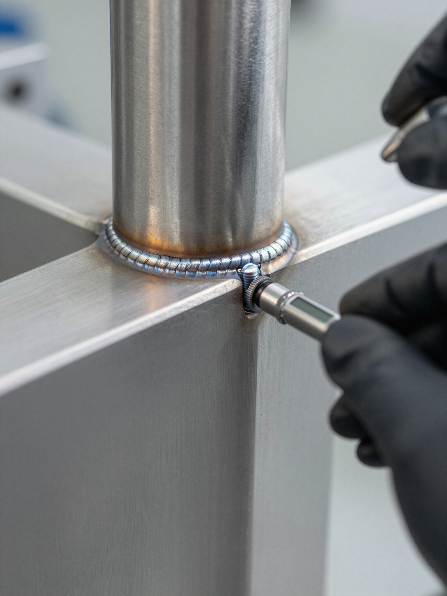








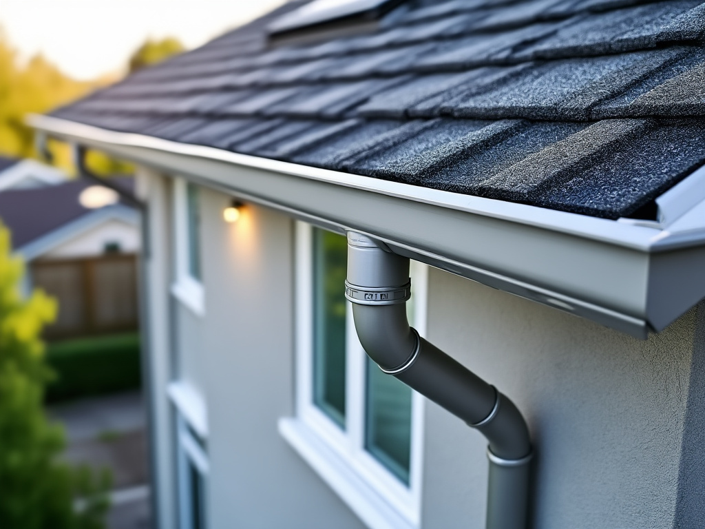

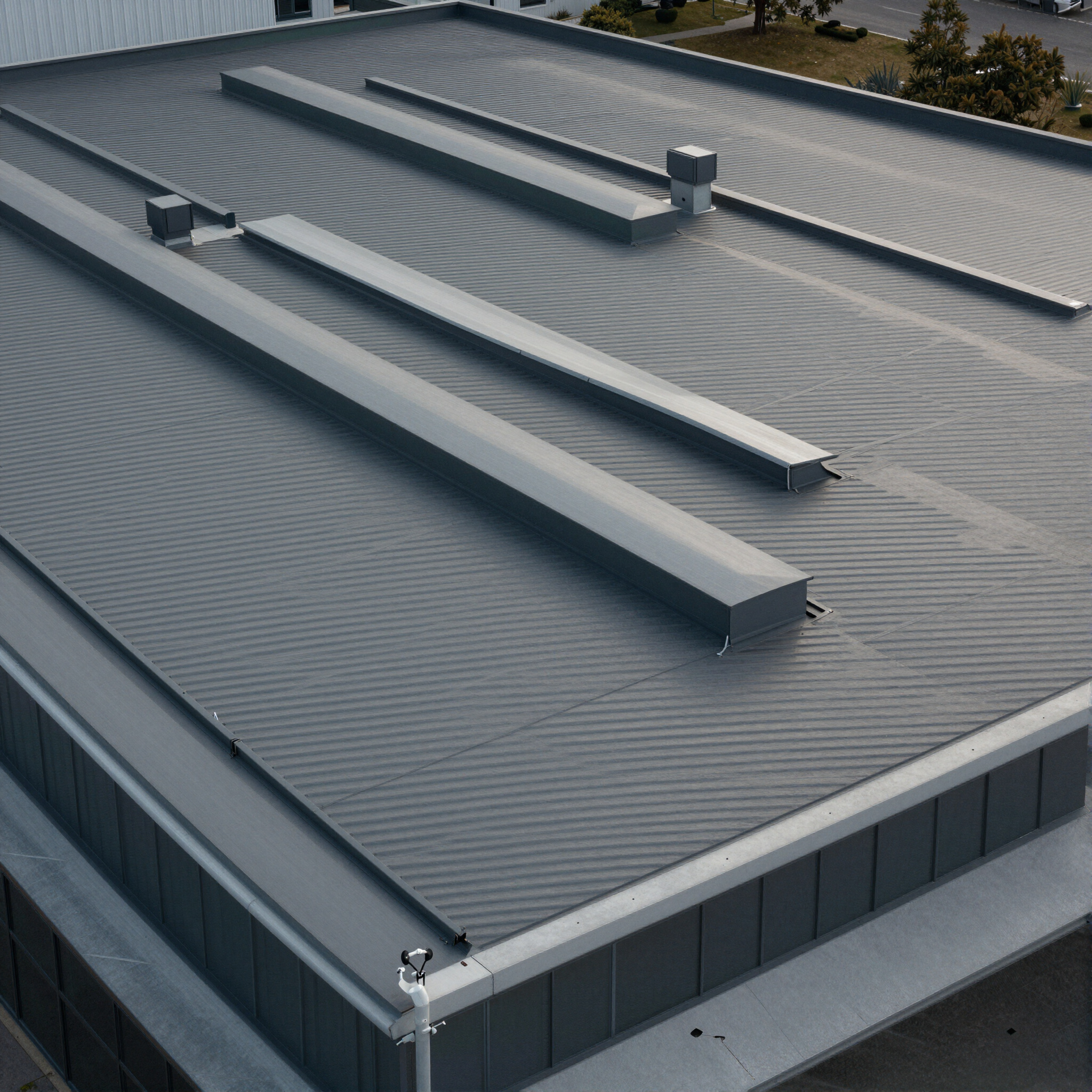

Gutter Inspection
Focused visual evidence of gutter conditions and roof-level inspections. We provide high-resolution documentation that identifies blockages, damage, and structural integrity without the need for ladders or scaffolding.
Ready for Lift Off?
Contact us for a tailored quote for your project.